The 7 Days Lemosho Route Kilimanjaro Climb
Beginning on the Western Slopes of the mountain, it passes through lush rainforest, heather moorland and alpine desert.
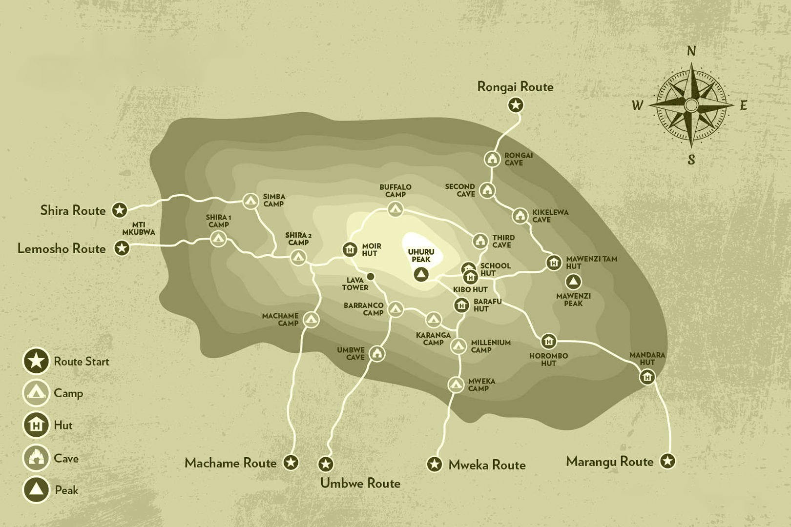
The seven day Lemosho route variation is preferred over the six day option because it breaks up day two into two days, providing better acclimatization and a more gradual ascent. On the seven day route, we walk from Lemosho gate to Forest camp, a reasonable altitude gain of less than2,000 feet
Tour Highlights
- Remote and scenic northern approach
- High summit success rate with gradual acclimatization
- Peaceful trail with minimal traffic
- Stunning views of Mawenzi and Kibo peaks
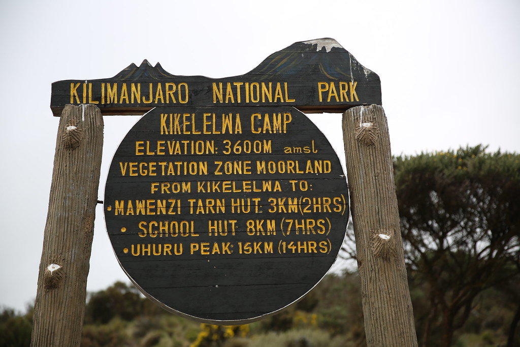
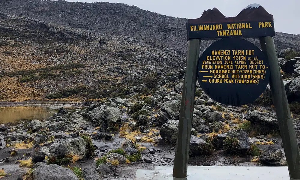
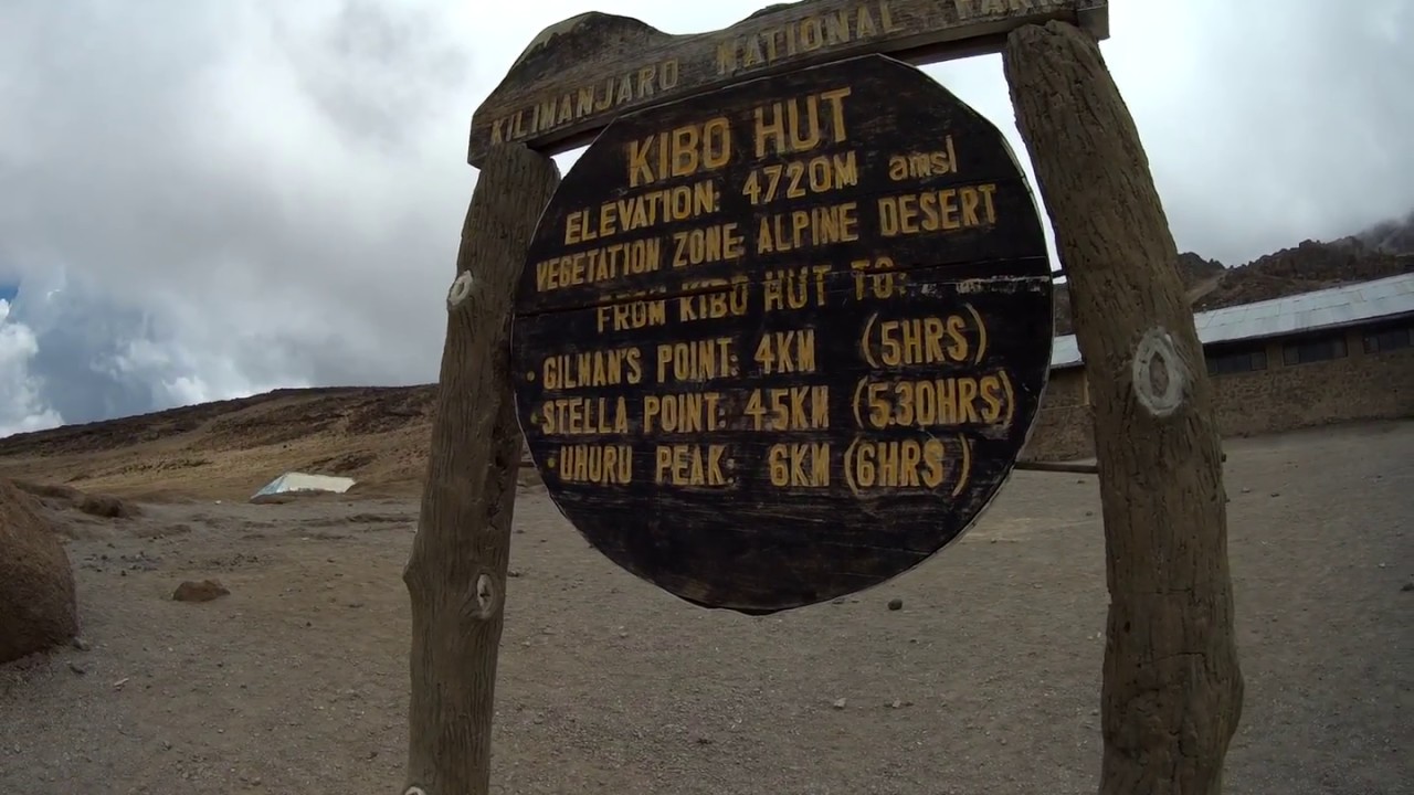
Route Map
Itinerary Overview
Day 1:Lemosho Gate to Forest Camp (7,300ft to 9,200ft)
Hiking time: 3-4 hours.
Distance: 6 km
Habitat: Rain Forest
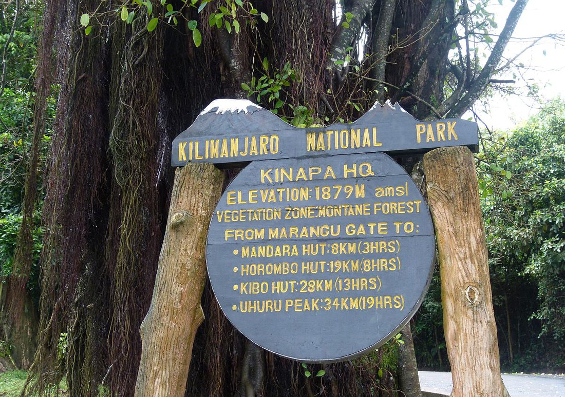
We depart Arusha from the hotel to Lemosho Gate, which takes about 4 hours, where you will complete entry formalities. Upon arrival at trailhead, we eat lunch, then commence through undisturbed forest which winds to the first camp site. Good place to enjoy the forest with some Monkeys and birds.
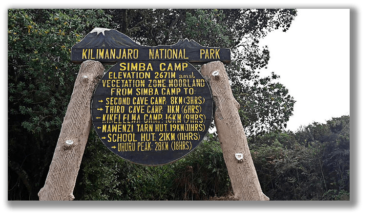
Day 2: Forest Camp to Shira Camp 1 ( 9,200ft to 11,400ft)
Hiking time: 5-6 hours
Distance: 9 km
Habitat: Heath Zone
We continue on the trail leading out of the forest and into a savannah of tall grasses, heather, and volcanic rock draped with lichen beards. As we ascend through the lush rolling hills and cross several streams, we reach the Shira Ridge before dropping gently down to Shira 1 camp. The view of Kibo from across the plateau is amazing.
Day 3:Shira Camp 1 to Moir Hut camp ( 11,400ft to 13,500 ft)
Hiking time: 5-7 hours
Distance: 10 km
Habitat: Moorland
We explore the Shira plateau for a full day. It is a gentle walk east toward Kibo’s glaciered peak, across the plateau. Then we continue to Moir Hut, a little used site on the base of Lent Hills. A variety of walks are available on Lent Hills making this an excellent acclimatization opportunity. Shira is one of the highest plateaus on earth.
Day 4: Moir Hut to Lava Tower to Barranco Camp ( 13,500ft to 12,950ft)
Hiking time: 4-6 hours
Distance: 7 km
Habitat: Semi desert
From the Shira Plateau, we continue to the east up a ridge, passing the junction towards the peak of Kibo. As we continue, our direction changes to the South East towards the Lava Tower, shortly after the tower, we come to the second junction which brings us up to the Arrow Glacier at an altitude of 16,000ft. We now continue down to the Barranco camp at an altitude of 12,950ft. Here we rest, enjoy dinner, and overnight. This day is very important for acclimatization and will help your body prepare for summit day
Day 5: Barranco Camp to Karanga Camp (12,950ft to 13,100ft)
Hiking time: 4-5 hours
Distance: 5 km
Habitat: Alpine Desert
After breakfast, we leave Barranco and continue on a steep ridge passing the Barranco Wall, to the Karanga Valley campsite. This is a short day meant for acclimatization. Get there for lunch then enjoy the rest of the day hiking around to acclimatize before dinner.
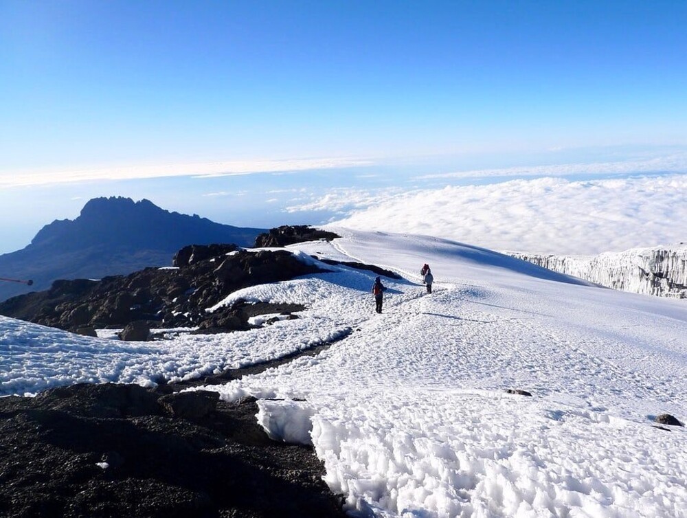
Day 6: • Barafu Camp to Summit to Mweka Hut ( 15,400ft to 19,340ft (and down to 10,000ft) )
Hiking time: 7-8 hours ascent / 4-6 hours descent
Distance: 5 km ascent / 12 km descent
Habitat:Arctic/Alpine desert/Snow cape
Very early in the morning (midnight to 2am), we continue our way to the summit between the Rebmann and Ratzel glaciers. You head in a northwesterly direction and ascend through heavy scree towards Stella Point on the crater rim. This is the most mentally and physically challenging portion of the trek. At Stella Point (18,600 ft), you will stop for a short rest and will be rewarded with the most magnificent sunrise you are ever likely to see (weather permitting). From Stella Point, you may encounter snow all the way on your 1-hour ascent to the summit. At Uhuru Peak, you have reached the highest point on Mount Kilimanjaro and the continent of Africa. Faster hikers will see the sunrise from the summit. From the summit, we now make our descent continuing straight down to the Mweka Hut camp site, stopping at Barafu for lunch/change for less layers. You will want gaiters and trekking poles for the loose gravel going down. Mweka Camp is situated in the upper forest and mist or rain can be expected in the late afternoon. Later in the evening, we enjoy our fresh and celebratory dinner on the mountain and a well-earned sleep.
Day 7:Mweka Camp to Arusha ( 10,000ft to 5,500ft )
Hiking time: 3-4 hours
Distance: 10 km
Habitat: Rain Forest
After breakfast, we continue the descent down to the Mweka Park Gate to receive your summit certificates. At lower elevations, it can be wet and muddy. Gaiters and trekking poles will help. Shorts and t-shirts will probably be plenty to wear (keep rain gear and warmer clothing handy). At Mweka Gate we get time to sign out then Lunch when it will be prepared. The vehicle will be there ready to pick you and drive to the Hotel in Arusha for leisure, dinner and overnight. Some may depart on that same day depending on the schedule or continue to Safari part
Traveler Reviews
Leave a Review
Traveler Reviews
“Unforgettable experience! The Rongai Route was peaceful, and our guides were incredible. Reached the summit safely!”
- Sarah L., UK“Amazing scenery and great organization. Loved every moment from start to finish.”
- Michael K., USA